Meet the Team
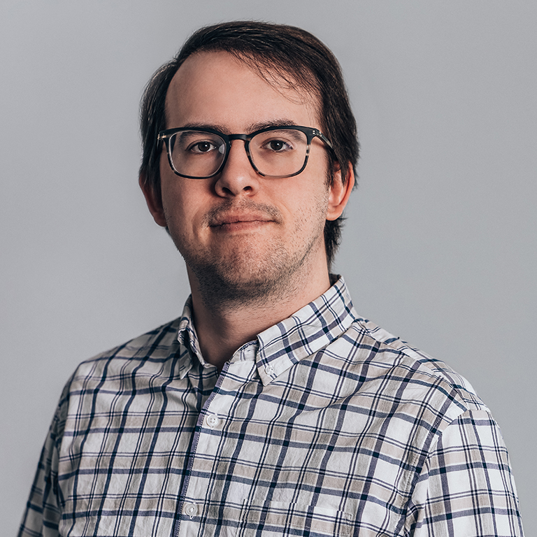
Connor Greenwell, Ph.D.
Staff R&D Engineer
Kitware Remote
Ph.D. in Computer Science
University of Kentucky
B.S. in Computer Science and Mathematics
University of Kentucky
Connor Greenwell, Ph.D., is a Staff R&D Engineer at Kitware, where he leads multi-disciplinary science teams developing advanced AI and computer vision technologies for government research programs. His work spans remote sensing applications of computer vision, generative 3D modeling, AI-enabled urban planning, and explainable AI for defense applications. He currently serves as principal investigator on multiple competitive federal R&D projects sponsored by the U.S. Army Research Office (ARO), the National Geospatial-Intelligence Agency (NGA), and the U.S. Department of Transportation (DOT).
At Kitware, Connor’s research focuses on multimodal fusion, large-scale simulation and modeling of human dynamics, and explainable and trustworthy AI. He has led efforts on projects such as the IARPA HAYSTAC program, contributing to innovations in activity recognition, anomaly detection, and geospatial intelligence. His recent initiatives include leading the development of interactive explainable AI frameworks for mission-critical decision support, generative modeling of complex 3D scenes, and artificial intelligence for transportation planning and design.
Before joining Kitware, Connor conducted research at the University of Kentucky, where he earned his Ph.D. in Computer Science in 2022. His dissertation, “Image Geo-localization with Cross-Attention,” explored cross-modal learning for visual geolocation. He also held research appointments at Oak Ridge National Laboratory and the University of North Carolina at Charlotte. Connor has published many peer-reviewed papers in computer vision and remote sensing venues and regularly reviews for top computer vision and remote sensing conferences (CVPR, ECCV, ICCV, WACV, IGARSS).
Connor holds a B.S. in Computer Science and Mathematics (2016) and a Ph.D. in Computer Science (2022), both from the University of Kentucky.
Publications
- C. Greenwell, J. Crall, M. Purri, N. Jacobs, A. Hadzic, S. Workman, and M. Leotta, "WATCH: Wide-Area Terrestrial Change Hypercube," in Proceedings of the IEEE/CVF Winter Conference on Applications of Computer Vision, 2024. [URL]
- G. Liang, C. Greenwell, Y. Zhang, X. Xing, X. Wang, R. Kavuluru, and N. Jacobs, "Contrastive Cross-Modal Pre-Training: A General Strategy for Small Sample Medical Imaging," IEEE Journal of Biomedical and Health Informatics, vol. 26, no. 4, pp. 1640-1649, Apr. 2022. [URL]
- B. Brodie, S. Khanal, M. Rafique, C. Greenwell, and N. Jacobs, "Hierarchical Probabilistic Embeddings for Multi-View Image Classification," in IEEE International Geoscience and Remote Sensing Symposium, 2021. [URL]
- S. Workman, M. Rafique, H. Blanton, C. Greenwell, and N. Jacobs, "Single Image Cloud Detection via Multi-Image Fusion," in IEEE International Geoscience and Remote Sensing Symposium, 2020. [URL]
- H. Blanton, C. Greenwell, S. Workman, and N. Jacobs, "Extending Absolute Pose Regression to Multiple Scenes," in Proceedings of the IEEE/CVF Conference on Computer Vision and Pattern Recognition (CVPR) Workshops, 2020. [URL]
- C. Greenwell, S. Workman, and N. Jacobs, "Implicit Land Use Mapping Using Social Media Imagery," in IEEE Applied Imagery Pattern Recognition Workshop, 2019. [URL]
- T. Salem, C. Greenwell, H. Blanton, and N. Jacobs, "Learning to Map Nearly Anything," in IEEE International Geoscience and Remote Sensing Symposium, 2019. [URL]
- C. Greenwell, S. Workman, and N. Jacobs, "What Goes Where: Predicting Object Distributions from Above," in IEEE International Geoscience and Remote Sensing Symposium, 2018. [URL]
- R. Baltenberger, M. Zhai, C. Greenwell, S. Workman, and N. Jacobs, "A fast method for estimating transient scene attributes," in IEEE Winter Conference on Applications of Computer Vision, 2016. [URL]
- S. Workman, C. Greenwell, M. Zhai, R. Baltenberger, and N. Jacobs, "DEEPFOCAL: A method for direct focal length estimation," in IEEE International Conference on Image Processing, 2015. [URL]
- M. Islam, C. Greenwell, R. Souvenir, and N. Jacobs, "Large-scale geo-facial image analysis," EURASIP Journal on Image and Video Processing, vol. 2015, no. 1, pp. 17, Dec. 2015. [URL]
- C. Greenwell, S. Spurlock, R. Souvenir, and N. Jacobs, "GeoFaceExplorer: exploring the geo-dependence of facial attributes," in Proceedings of the 3rd ACM SIGSPATIAL International Workshop on Crowdsourced and Volunteered Geographic Information, 2014. [URL]

