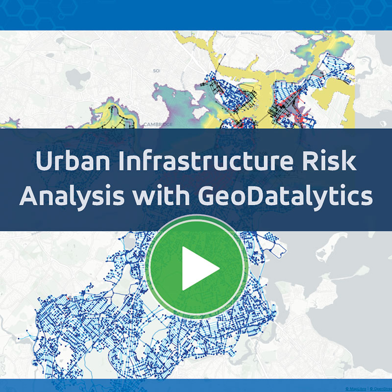
Exploring Urban Infrastructure Risk with GeoDatalytics
Urban infrastructure systems, such as transportation networks, are increasingly vulnerable to extreme weather events, aging infrastructure, and growing urban demand. Understanding how these pressures affect interconnected systems is critical for cities and infrastructure operators working to improve resilience.
GeoDatalytics is an open source platform developed through a collaboration between Kitware and Northeastern University to address these challenges. It enables teams to organize complex urban datasets, explore scenario-based analyses, and evaluate how disruptions impact infrastructure systems across a city.
Through an integrated workflow that combines simulation and geospatial analytics, GeoDatalytics helps bring fragmented data together into a unified environment for analysis and decision-making.
Challenges in Urban Infrastructure Analysis
Urban infrastructure systems are highly interconnected, making it difficult to assess how disruptions in one area affect others. Events such as flooding can simultaneously impact transportation networks, accessibility, and emergency response.
Infrastructure teams often work with fragmented datasets and limited tools for exploring “what-if” scenarios, making it challenging to fully understand system-wide impacts. Addressing these limitations requires a more integrated approach to data management, modeling, and visualization.
GeoDatalytics for Integrated Infrastructure Analysis
GeoDatalytics provides a structured environment for managing projects and datasets, allowing users to work with transportation, environmental, and other infrastructure data in a consistent and reproducible way.
The platform supports interactive geospatial visualization, enabling users to explore infrastructure systems and better understand spatial relationships across a city. These capabilities are paired with scenario-based workflows that allow users to simulate disruptions and evaluate their impacts.
In the webinar, we demonstrate an AI-driven flood simulation that models how environmental conditions affect infrastructure systems. This simulation is combined with transportation network analysis to assess how flooding disrupts mobility and accessibility.
By integrating these capabilities, GeoDatalytics provides insight into how disruptions propagate across systems, helping users better understand infrastructure risk.
Perspectives from the GeoDatalytics development team provide insight into the platform’s design goals, current capabilities, and ongoing development. As an open source project, GeoDatalytics continues to evolve with an emphasis on expanding analytics workflows and supporting additional infrastructure domains.
Partnering with Kitware for Urban Infrastructure Analytics
With deep expertise in open source software, geospatial analytics, and large-scale data systems, Kitware developed GeoDatalytics to make infrastructure analysis more accessible, flexible, and scalable. Whether you’re integrating diverse urban datasets, modeling disruption scenarios, or analyzing system-wide impacts, GeoDatalytics provides the tools needed to support informed, data-driven decision-making.
If you’re interested in exploring how GeoDatalytics can support your infrastructure resilience and planning efforts, our team can provide technical guidance, collaboration opportunities, and real-world applications.
Contact Us to Get Started