Geospatial Analytics & Remote Sensing
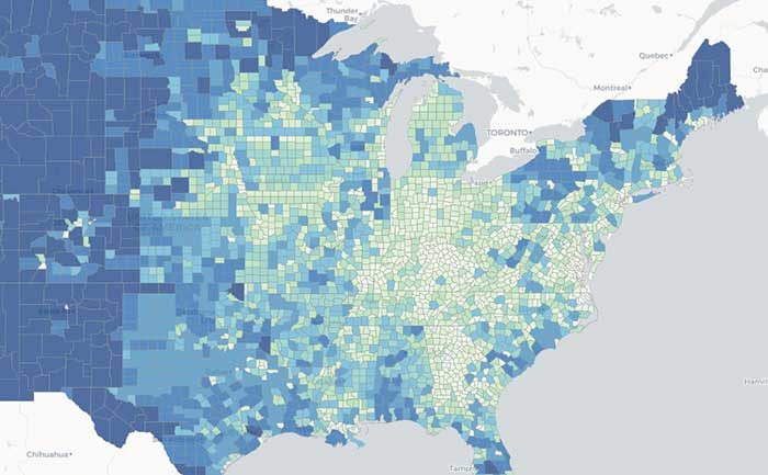
We offer advanced capabilities for geospatial analysis and visualization. We support a range of use cases from analyzing geolocated Twitter traffic, to processing and viewing complex climate models, to working with large satellite imagery datasets. We build AI systems for cloud-native geospatial data analytics at scale and then construct customized web-based interfaces to intuitively visualize and interact with these results. Our open source tools and expert staff provide full application solutions, linking raw datasets and geospatial analyses to custom web visualizations.

Need expert help with your project? Speak directly with one of our developers.